
West Virginia
Lost a ring at a West Virginia campsite?
Summersville Lake, Tygart Lake, North Bend, Coopers Rock, Kanawha State Forest, Parkersburg and Canaan Valley
A ring, car keys or a phone lost around a West Virginia campsite or cabin can still be searched for, and Ring Seekers sets up a detectorist to work the patch. Battle Run is a waterfront campground on Summersville Lake. Tygart Lake State Park has a lodge, cabins and a campground. Around a camp, a ring taken off to wash up or keys put down while the car was unloaded could end up in the leaves or the gravel without anyone seeing them go. With a lost ring, keys or a phone, what helps most is a small, well described patch of ground.
Ring Seekers is a lost ring and jewelry recovery service that works with experienced local metal detectorists to search for a ring, wedding band, watch, keys or phone lost in West Virginia, in the Appalachian part of the United States. Tell us what happened and where. We choose an experienced detectorist who knows the place, brief them with your map and photos, and tell you honestly if the odds are poor.
The item might equally be an engagement ring, an Oura ring, an earring, a necklace, a bracelet or chain, an Apple Watch, a key fob, metal-framed glasses or a hearing aid, and the place a Parkersburg park or a ski hill at Canaan Valley.
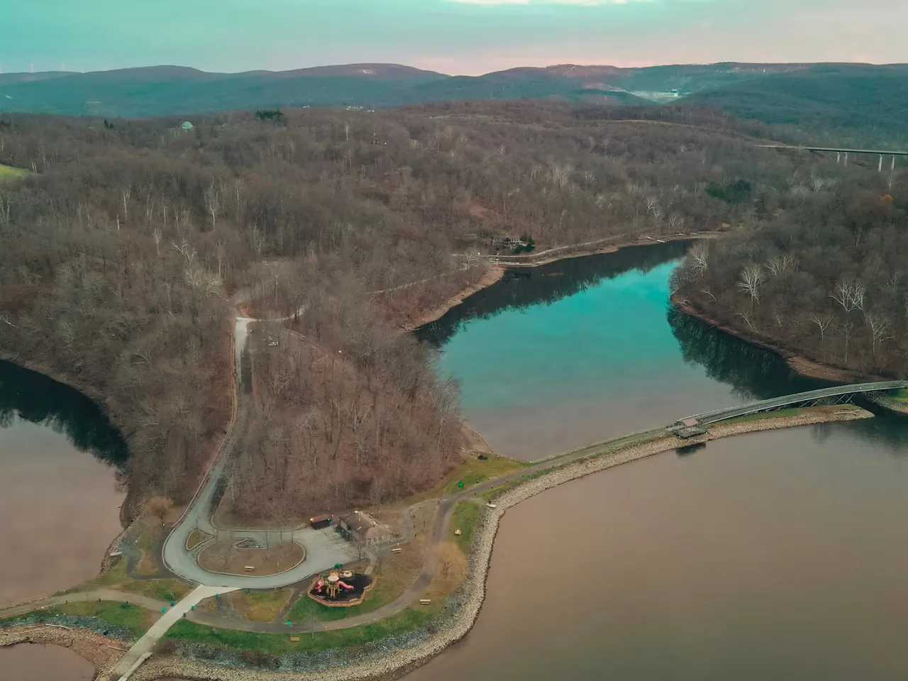
Your campsite or cabin number does half the describing
A campsite already has an address. Write down the site number and the campground name. North Bend alone has two, River Run and Cokeley. Photograph the whole site from the road, then the picnic table, the fireplace and the tent spot. At a cabin, note the number and photograph the porch, the steps and the way to the car.
For a set of lost keys, ask at the park office or the campground host too, in case they have been handed in. Then send Bart the campground and site or cabin number on WhatsApp, with the day it happened and a description of the item, and keep the photos for later.
Areas and towns we cover in West Virginia
- Parkersburg
- City Park and Point Park in Parkersburg
- Morgantown
- Cheat Lake Park
- Coopers Rock State Forest
- Charleston
- Kanawha State Forest
- Summersville
- Battle Run on Summersville Lake
- Summersville Lake State Park
- The Gauley River below Summersville Dam
- New River Gorge, Fayetteville and Grandview
- Bluestone River, Bluestone State Park and Pipestem
- Tygart Lake State Park
- North Bend State Park
- North Bend Rail Trail
- Canaan Valley Resort State Park
- Canaan Valley National Wildlife Refuge
Named campgrounds, launches and shelters at West Virginia lakes, forests and parks
Read the card for your place, then tell us which of its parts you were in.
Battle Run and the northern shore of Summersville Lake
Battle Run, just south of the town of Summersville, is a waterfront campground with electric sites, a few walk-to tent sites, a boat ramp, a fishing dock, a playground and nature trails. The lake around it is known for its cliffs and quiet coves, and people swim and scuba dive in it. Summersville Lake State Park, on the northern shore in Nicholas County, has the Overlook, Deer Run and Joe Branch campgrounds and the Hughes Ferry Picnic Area. Below Summersville Dam, the Gauley River National Recreation Area takes in 25 miles (40 km) of the Gauley, and in September, when water is released through the dam, rafters come from all over the world. Tell us the campground and site number, or the cove, ramp or dock by name.
Cheat Lake Park and Coopers Rock State Forest near Morgantown
Cheat Lake Park has a children's playground, picnic areas, a beach area on Cheat Lake and a fishing pier, next to a paved rail-trail that follows the Lake Lynn shoreline. Coopers Rock State Forest is less than 15 miles (about 24 km) from Morgantown. It has canyon overlooks, sandstone cliffs for climbing and bouldering, cabins, and the McCollum and Rhododendron campgrounds.
City Park and Point Park in Parkersburg
City Park is set among oaks and elms, with miniature golf, horseshoe courts, tennis and basketball courts, picnic shelters and a playground. Point Park is the riverfront park in downtown Parkersburg, right at the confluence of the Little Kanawha and Ohio rivers. People fish, picnic and walk there.
Kanawha State Forest outside Charleston
Seven miles (about 11 km) from Charleston, Kanawha State Forest is a popular picnic area with several playgrounds and a campground that stays open year-round. Each campsite has a fireplace and a picnic table. Davis Creek is its fishing stream, with wheelchair-accessible fishing piers. Tell us the campsite number, or which picnic area or pier.
Tygart Lake and North Bend state parks
Tygart Lake State Park lies in the foothills of the Allegheny Mountains. Its lodge sits on a high peninsula above the lake, some of the cabins overlook the water, and the campground is at the end of the park road. The marina has ramps and slips. North Bend State Park has the River Run and Cokeley campgrounds and a lake with a boat launch, a canoe launch and accessible fishing platforms. The North Bend Rail Trail, surfaced in crushed limestone, runs next to the park.
Canaan Valley Resort State Park in ski season and in summer
Canaan Valley Resort State Park has trails for downhill skiers and snowboarders, more for cross-country skiing and snowshoeing, a tubing park and a covered ice rink. Its campground has full-hookup and wooded sites, and summer brings golf, hiking and biking. Next door, Canaan Valley National Wildlife Refuge has 29 miles (47 km) of trails, among them a half-mile boardwalk loop past beaver ponds.
New River Gorge and the Bluestone
At the Canyon Rim Visitor Center in Lansing, near Fayetteville, a boardwalk leads to views of the New River Gorge Bridge, with 178 steps down to the lower overlook, and Grandview has an overlook of its own. Farther south, the Bluestone National Scenic River runs 10.5 miles (17 km) between two state parks, and the 9.5-mile (15 km) Bluestone Turnpike Trail follows it from Bluestone State Park to Pipestem Resort.
What Ring Seekers takes off your hands while you are still at camp
The hunt for a detectorist is ours
You write to Bart on WhatsApp, and the ringing round is his. Nobody needs to spend an evening in a camp chair typing metal detectorist near me into a phone.
Your photos do the first walk round the site
Whoever goes out has already looked at your pictures of the picnic table, the fireplace and the path, and has the site or cabin number, your pin and a photo of the item.
You are told what Bart makes of it
Once he has your answers, Bart says how a search looks to him and why. Whether to go ahead is up to you.
What a search costs
We explain the costs before any search is booked.
The ground under a camp, and the water and snow beyond it
What is underfoot at your site
Yours may be a gravel pad, mown grass, bare earth, leaf litter or the ashes of a fireplace. Tell us which, and let the raking and shoveling wait until we have spoken.
Tygart's water line and Summersville's coves
The level of Tygart Lake changes. For anything that went into the water, the date and a photo of the shore that day show where the edge was. On Summersville Lake, the name of the cove, the ramp or the dock is the first thing we ask for.
Ground that slopes
On a slope, a ring could roll a little way before leaves or snow stop it, so tell us which way the ground falls. In snow, mark the spot the same day with something that stands up out of it, and photograph it from downhill.
Want a first idea of your chances? Try the lost ring recovery calculator.
When the tent has been emptied twice and it is still missing
My wife took her rings off to wash up at our Battle Run campsite last night, and this morning the engagement ring is gone. We have emptied the tent twice. What now?
Stop emptying things and photograph the site while it still looks as it did. Note the site number, where she washed up, where the rings were put down and where the water was tipped out.
Our truck key fob went missing at our campsite in Kanawha State Forest. We have checked the picnic table and the fireplace. Where else would a detectorist want to know about?
Everywhere the fob went in a pocket: the walk to the bathhouse, anywhere you fetched or stacked firewood, the ground beside each truck door. List those in the order you visited them and photograph each one.
My wedding band came off this afternoon while I carried firewood from the car to our cabin porch at Tygart Lake State Park. My brother says a metal detector rental would do the job. Would it?
It might, for a loss like yours. A short path walked a few hours ago is ground a hired machine can manage, and a lawn or dry sand would be too. A detectorist is the better bet for wet sand or lake water, for a wide area, or for something as small as an earring.
My ring slid off in knee-deep water beside the canoe launch at North Bend Lake. Is that something a detectorist can do anything about?
Yes. Knee-deep water beside a launch can be searched, and a detectorist who works in water is who we would look for. Tell us which side of the launch you stood on and how many steps out you were. Nobody can promise a find, so you will hear how it looks to us first.
I tucked my ring into my chalk bag to go bouldering at Coopers Rock, and back at the car it was gone. We climbed at two boulders and I opened the bag at both. What should I send you?
The order of the day and a photo of each boulder. The ground below the two boulders and the trail between them are three small places, and wherever you opened the chalk bag matters most.
My Apple Watch came off on the tubing hill at Canaan Valley Resort this morning. What is worth doing today?
Fix the place while you can still stand at the bottom and look up. Note which side of the hill you rode down and roughly how far up it happened, then photograph the hill. Ask the tubing park staff whether a watch has been handed in.
One of my earrings came out at City Park in Parkersburg. We played miniature golf, sat at a picnic shelter, then went to the playground. Which of the three do I tell you about?
Your camera roll can answer that. Scroll back through the afternoon until you reach a picture with both earrings in. If it was taken at the picnic shelter, the miniature golf is ruled out, and what is left is the shelter, the playground and the walk between them.
West Virginia
Bart's first question will be your site or cabin number
So put it in your message, with the park and the day.
For a lost ring, a key fob or a phone, say which park, which site or cabin and which day. Bart replies on WhatsApp with his questions.
Many people search for a ring finder after a loss like this. Here, that is an experienced local detectorist with a metal detector, chosen because they know the area.
Lost it just now? Do this first Who to tell where you lost it