
Topsail Island and Surf City
Lost a ring at Surf City on Topsail Island?
Surf City, North Topsail Beach and Topsail Beach share one 26 mile barrier island with two ocean piers and an inlet at each end
An Oura ring has a metal shell, so a detector reads it much like a wedding band. The trouble is the water it usually comes off in. The sea off Surf City runs about 48 to 57 F (9 to 14 C) in February, cold enough to shrink a finger until a ring slides away without you feeling it go. On dry sand it stays near the surface. In the surf the tide moves about 4 feet (1.2 metres) and the sand near the inlets shifts with every storm.
Ring Seekers is a lost ring and jewelry recovery service that works with experienced local metal detectorists to search for a ring, wedding band, watch or phone lost on Topsail Island in North Carolina.
We are a small service that chooses the right local detectorist for each search. Tell us what happened and where. We choose an experienced detectorist who knows the beach, brief them with your map and photos, and tell you honestly if the odds are poor.
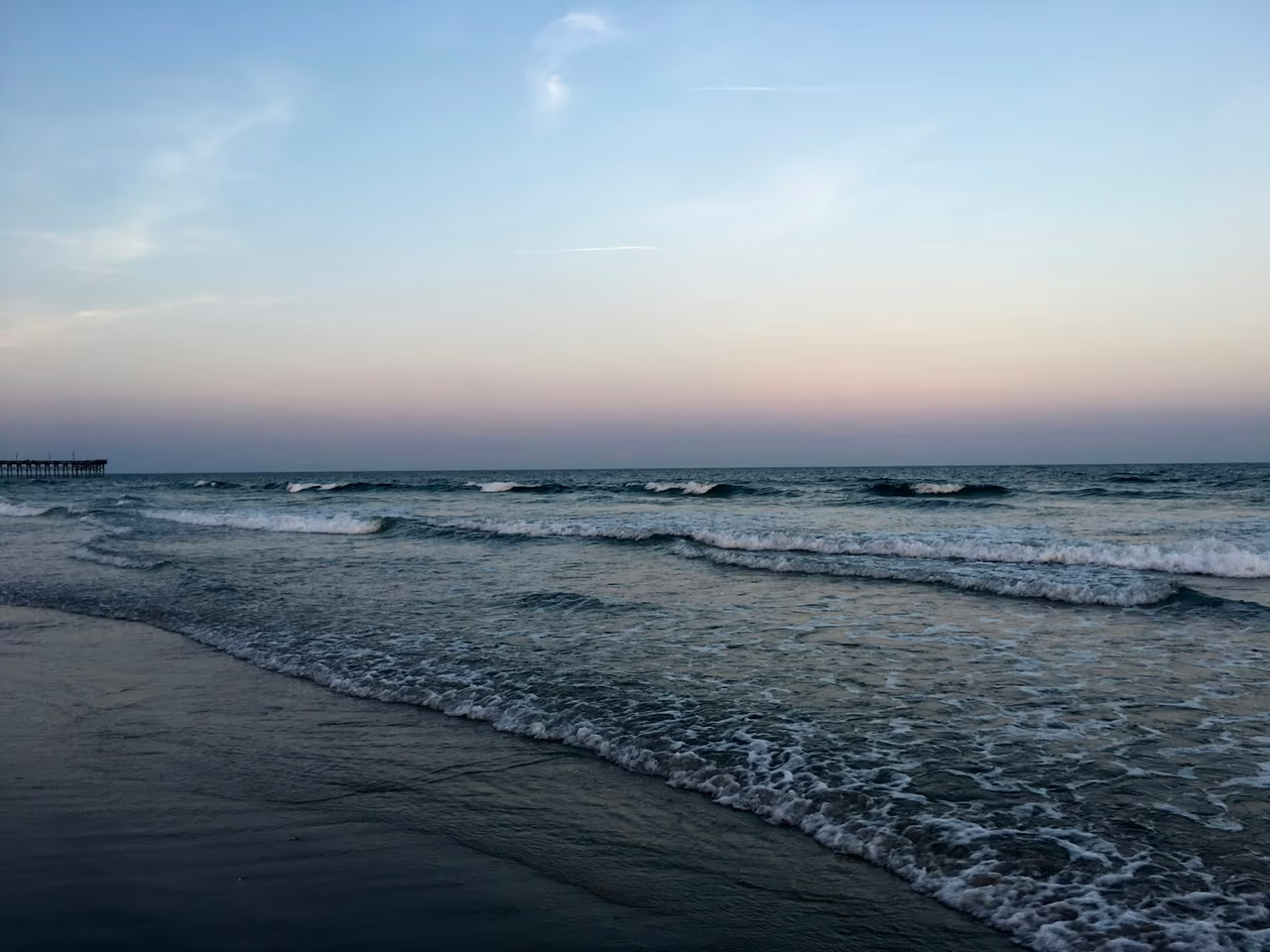
Find something fixed before you move
Stay where you are and mark the spot first. Drop a pin on your phone, then pick something nearby that will still be there tomorrow, such as the numbered beach access sign, one of the two piers or a house you can name, and photograph the spot with it in frame. If it came off in the water, note how deep you were standing and the time.
Then message us on WhatsApp with all of that and a picture of what went missing. Say whether it was dry sand, wet sand or water, because a scoop on the strand and a low water search along the pilings are not the same job at all.
Places we cover on Topsail Island and in Surf City
- Surf City
- Surf City town beach along North and South Shore Drive
- Surf City Ocean Pier
- Broadway Avenue, New Bern Avenue, Roland Avenue and Kinston Avenue beach accesses
- North Topsail Beach
- North Topsail Beach Access 3 and New River Inlet
- Topsail Beach
- Jolly Roger Pier, Topsail Beach
- New Topsail Inlet
- Lea-Hutaff Island and Lea Island State Natural Area
- Sound side and Intracoastal Waterway boat ramps
- Rental house decks and outdoor showers
Beaches, piers and inlets on Topsail Island
Surf City town beach
Surf City's beach runs along North and South Shore Drive, reached by numbered public accesses. The sand is fine quartz with shell fragments, which a detector reads well, and a ring dropped from a towel or a bag in dry sand usually stays near the surface.
Surf City Ocean Pier
The pier at 112 South Shore Drive is 937 feet (286 metres) long with a 40 foot (12 metre) octagon at the end. A ring, watch or phone goes over the rail easily while people are handling bait or fish, and the further out you had walked, the deeper the water underneath. A loss from the pier is a low water search along the pilings.
North Topsail Beach
North Topsail Beach covers the northern end of the island. In April 2025 the town finished a truck hauled sand placement along about 2.5 miles (4 km) of shoreline, which matters if you lost something before that. The far north end meets New River Inlet near Access 3, where strong currents run and sandbars drop away into deep channels.
Topsail Beach and the Jolly Roger Pier
The town of Topsail Beach covers the south end of the island. The Jolly Roger Pier sits near the centre of town at 803 Ocean Boulevard and reaches about 850 feet (260 metres) into the Atlantic. On a long, even strand a pier is the one landmark you can measure from in a photograph, which is worth more to a searcher than the name of the beach.
New Topsail Inlet and Lea-Hutaff Island
NOAA's Coast Pilot describes New Topsail Inlet as a shifting bar that one storm can change completely. Across it lies Lea-Hutaff Island, about 4 miles of uninhabited beach and marsh reached only by boat. If something went down over there, where you landed and how far you walked is the whole of the search brief.
How a Topsail Island case is handled
You tell it once
One person takes the details and stays on the thread until it is finished, either way.
The detectorist gets your marked map and photos
Whoever searches knows which access you used, where you sat and what the ring looks like before they set out.
A hard case is named as one
Off the end of a pier, out in New River Inlet or under fresh fill, you are told how thin the chances look before anyone is asked to travel.
Sand, surf and sound side are three jobs
Dry sand, the low water strip along the pilings and the water on the sound side are planned differently, and we tell you which one yours is.
Nothing moves on a maybe
The figure for a search comes first, in plain words, and the next move after that belongs to you.
Sand, tide and water on Topsail Island
Fine quartz sand
The Town of Topsail Beach nourishment plan gives a mean grain size of about 0.20 mm for the island sand, fine quartz with shell fragments. Dry, it is soft and a dropped ring settles within the top 10 to 15 cm (4 to 6 inches) unless it is trodden in.
A tide of about 4 feet
NOAA's nearest ocean gauge with published datums, at Wrightsville Beach, gives a mean range of 3.98 feet (1.2 metres) and a diurnal range of about 4.5 feet (1.4 metres). Low water uncovers a wide band of wet sand for searching.
Water temperature and cold fingers
Published averages put the sea off Surf City at about 48 to 57 F (9 to 14 C) in February and about 82 F (28 C) in August. Cold water shrinks fingers, so a wedding band or Oura ring slips off more easily outside summer.
New sand on the beaches
Surf City is preparing a federal storm damage project to place about 6.5 million cubic yards (5 million cubic metres) of sand along roughly 6 miles (10 km) of beach, with a new dune and a 50 foot (15 metre) berm. North Topsail Beach finished a truck hauled fill in April 2025. A ring buried under fresh fill is out of reach of a detector.
Two piers and two inlets
The island is one 26 mile barrier strand with an ocean pier at Surf City, another at Topsail Beach and an inlet at each end. A pier or a numbered access is something you can point at in a photograph, and that is what makes a stretch of even sand searchable at all. The inlets are the other story: New Topsail Inlet at the south moves with the storms, and New River Inlet at the north runs strong currents over sandbars that drop into deep channels.
Want a first idea of your chances? Try the lost ring recovery calculator.
Questions about Topsail Island and Surf City
My Oura ring came off in the water at Surf City. Can a detector find it?
Yes, an Oura ring has a metal shell, so it reads on a detector much like a wedding band. The sea off Surf City runs about 48 to 57 F (9 to 14 C) in February, and cold water shrinks fingers, which is how most of these come off in the first place. Tell us which numbered beach access you used, how deep you were standing and roughly what time it was, because a search in the shallows is planned around low water.
I lost my watch near Access 3 at North Topsail Beach. What now?
Say first whether it went down on the sand or in the water. The north end of the island meets New River Inlet near Access 3, where strong currents run and sandbars drop away into deep channels, so a loss in the water there is a hard case. On the sand it is a normal search, and the numbered access gives a searcher a line to work from straight away.
My wedding band went over the rail of Surf City Ocean Pier. Is it gone?
Not always. The pier is 937 feet (286 metres) long, and the water gets deeper the further out you walked. A band, watch or phone dropped near the shore end can be searched along the pilings at low tide. Something dropped from the octagon at the end is in open water, and we would tell you the odds are poor before anyone travels.
I lost a ring at Topsail Beach near the Jolly Roger Pier. What now?
Measure yourself against the pier before you move. The Jolly Roger sits near the centre of town at 803 Ocean Boulevard and reaches about 850 feet (260 metres) into the Atlantic, so it is the one thing on that stretch you can line everything else up against. Say how far along the sand you were from it, how far up from the water you had put your towel, and whether it went down on dry sand or wet.
We lost a bracelet on Lea-Hutaff Island. Can anyone get out there?
Tell us where the boat came in. Lea-Hutaff Island lies across New Topsail Inlet from the south end of Topsail Island, about 4 miles of uninhabited beach and marsh that can only be reached by boat. Getting a searcher out there takes arranging, so the tighter you can place the spot against your landing point and how far along you walked, the better this looks.
What should I send you on WhatsApp?
The date and rough time, which town and which beach access, a map pin or screenshot with the spot marked, a photo of the ring or one like it, and whether it was dry sand, wet sand or water.
They have put new sand on the beach since we lost it. Does that end it?
It depends which stretch you were on. North Topsail Beach finished a truck hauled sand placement along about 2.5 miles (4 km) of shoreline in April 2025, and Surf City is preparing a federal project to place about 6.5 million cubic yards (5 million cubic metres) of sand along roughly 6 miles (10 km) of beach. A ring under fresh fill is a long shot, and you would hear that from us first. Send the date and the access you used, and we will work out whether your stretch was touched.
Topsail Island and Surf City
The access number, and how deep you were standing
Which town, what went missing, the hour, and one photo from the spot.
Cold water takes most of these off, and it does not much care which month it is. Send the access number, the time and a photo from where you stood, on WhatsApp, and you will get a straight answer on what can be done with it.