
Corpus Christi, Port Aransas and Rockport
Lost a ring in Corpus Christi?
From the bayfront at North Beach and McGee Beach out to Padre Island, Port Aransas on Mustang Island and Rockport Beach on Aransas Bay.
A class ring is heavy and it comes off easily, over a wet hand pulling on a shirt or when a wave catches you sideways. That weight works in your favour once a search starts, because it reads strongly on a detector and it settles within a step or two of where it left you. What decides the job is how exactly you can mark that spot.
Ring Seekers is a lost ring and jewelry recovery service that works with experienced local metal detectorists to search for a ring, wedding band, watch or phone lost in Corpus Christi, Port Aransas and Rockport, down on the Texas coast.
A searcher goes out; we do the planning and the talking. Tell us what happened and where. We choose an experienced detectorist who knows the beach, brief them with your map and photos, and tell you honestly if the odds are poor. This page is for a class ring or a wedding band, and just as much for an Oura ring, an earring, a watch, keys, sunglasses or a phone.
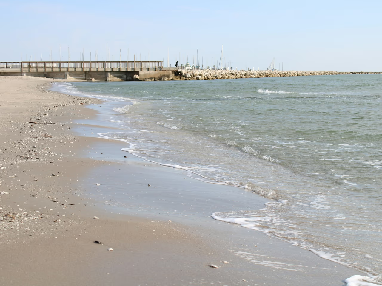
The first hour on the Coastal Bend sand
Fix the spot before anything else. On the Gulf beaches, note the access road, beach marker or mile marker and take a photo of the dunes behind you. On the bay beaches, use the USS Lexington, the seawall or a pier. Drop a pin, note the time, then message us with a photo of the ring.
Then add the details a detectorist works from. In the water, how deep you were standing and what you lined up with on shore. On dry sand, what you were sitting beside and whether the spot has been raked or driven over since. If there is a park office, a pier shop or a lifeguard stand, ask there before you leave, because jewelry is often handed in.
Places we cover in Corpus Christi, Port Aransas and Rockport
- Corpus Christi
- North Beach, by the USS Lexington and Texas State Aquarium
- McGee Beach and the Shoreline Boulevard bayfront
- Whitecap Beach, North Padre Island
- Padre Balli Park and Bob Hall Pier
- North Packery Beach (J.P. Luby)
- Padre Island National Seashore, Malaquite Beach and South Beach
- Bird Island Basin on the Laguna Madre
- Mustang Island
- Mustang Island State Park
- Port Aransas
- Port Aransas city beach and Horace Caldwell Pier
- I.B. Magee Beach Park, Port Aransas
- Rockport
- Rockport Beach on Aransas Bay
Beaches from the Corpus Christi bayfront to Rockport where jewelry goes missing
Bay sand and Gulf surf sit close together here, and each changes what a search can do.
North Beach and McGee Beach, Corpus Christi bayfront
North Beach sits just across the Harbor Bridge from downtown, with a Beach Walk promenade, the USS Lexington museum and the Texas State Aquarium nearby. McGee Beach lies downtown on Shoreline Boulevard along the seawall facing Corpus Christi Bay. Landmarks that size make a lost ring or earring easy to mark on a photo.
Whitecap Beach and Padre Balli Park, North Padre Island
Whitecap Beach, at the end of Whitecap road, has a pedestrian only shoreline next to an area for cars, and the two behave differently underfoot. Padre Balli Park is a 374.5 acre Nueces County park with over a mile of beachfront, and Bob Hall Pier inside it reopened on 24 February 2026 after its rebuild.
Padre Island National Seashore
South of Padre Balli Park, Park Road 22 runs on into the national seashore. Malaquite Beach stretches 4.5 miles (7.24 km) between the North Beach and South Beach vehicle bollards, with the Malaquite Visitor Center car park as the easy way on. South Beach takes an ordinary car for its first five miles and then only four-wheel drive, with mile marker signs every five miles. On the Laguna Madre side, Bird Island Basin is the calm-water day-use area. The bollards or the mile marker you were nearest is what we ask for.
Port Aransas and Mustang Island
Port Aransas grew up on the northern end of Mustang Island, an eighteen mile barrier island. The sand is numbered with markers from 0 to 62, which is the quickest way to tell a searcher where you were. The Horace Caldwell Pier runs 1,200 feet into the Gulf, and I.B. Magee Beach Park covers 167 acres.
Mustang Island State Park
More than five miles of coastline on State Highway 361, with campsites and a paddling trail. A wedding band or a watch slips off most easily in cool water. Name the walkover you used and the search starts as a strip, not a park.
Rockport Beach, Aransas Bay
At Rockport Beach the water is shallow and clean, the sand is powdery, and there is an 800 foot fishing pier at the north end. Rings and earrings come off in the shallows here, and with almost no tide they stay where they land.
North Packery Beach and the Gulf accesses
North Packery Beach, also called J.P. Luby, sits on the Gulf side of North Padre Island between the city beaches and the jetties. Open Gulf sand like this is the easiest ground a detectorist gets, because the coil swings freely and the beach is worked in lines. The catch is length, so the access you parked at is the first thing we ask for.
What you get from Ring Seekers on the Coastal Bend
One person on WhatsApp
You explain it once. The same person takes the details, chooses an experienced detectorist who knows your beach and keeps you posted.
Your map and photos go to the detectorist
The detectorist gets your pin, photos, beach marker and the time of the loss before arriving.
Plain about poor odds
A ring that went off the far end of Bob Hall Pier, or into the Gulf with no idea of the spot, is a poor bet. You hear that from us before you spend anything.
Bay sand and Gulf sand are two jobs
On the bayfront the water barely moves, so a spot stays a spot and the search can be slow and close. On the Gulf side the surf shifts the bottom and the work is done in lines around low water.
Costs, then your decision
We set out what a search would cost, and then it is your call whether one happens at all.
Tides, surf and water around Corpus Christi
What a detectorist works with on these Texas beaches.
Tides
The tides here are small. NOAA station Bob Hall Pier on the Gulf shows 1.64 feet (0.5 metres) between mean higher high and mean lower low water, and Port Aransas shows 1.04 feet (0.32 metres). Inside the bays the range almost disappears: 0.61 feet (0.19 metres) at the USS Lexington station and 0.36 feet (0.11 metres) at Rockport.
Surf and rip currents
Life threatening rip currents often form near the jetties and piers along this coast, even on a low risk day. A searcher reads the National Weather Service surf zone forecast before choosing an hour.
Water temperature
NOAA figures for Port Aransas and Rockport average about 60 F (16 C) in January and 86 to 89 F (30 to 32 C) in August. Cold water shrinks fingers, which is why so many rings come off in the winter months.
Want a first idea of your chances? Try the lost ring recovery calculator.
Asked and answered, from North Beach out to Rockport
My class ring came off in the surf at Port Aransas. Where do I start?
With the nearest numbered beach marker, or the Horace Caldwell Pier if you were near it. The beach runs on markers, so a marker number and a photo of the dunes behind you give a detectorist a starting line on 18 miles of sand. A heavy class ring reads strongly on a detector. Tell us how deep you were standing and which way you faced coming out.
I lost my wedding ring at Whitecap Beach or Padre Balli Park. What do you need?
A pin and the nearest access road. Whitecap Beach, at the end of Whitecap road, has a pedestrian only shoreline next to an area for cars, so tell us which of the two you were on. Padre Balli Park runs 374.5 acres with over a mile of beachfront, and there the fixed points are the pavilions and Bob Hall Pier. A photo looking back at them is worth more than a description.
My Oura ring came off swimming at Mustang Island State Park. Any chance?
A fair one, if you can place it. The park keeps more than five miles of coastline on State Highway 361, so the stretch you name is the search. An Oura ring is metal and shows on a detector like any other ring, though it gives a weaker signal than gold. Tell us the campsite or the walkover you came from and how far along you had walked.
I lost an earring at Rockport Beach. Is bay water easier than the Gulf?
Usually, yes. Rockport Beach is shallow bay water with powdery sand, and the tide range at Rockport is only 0.36 feet (about 11 cm), so the spot you stood in today is much the same tomorrow. A small stud gives a weaker signal than a band, so the exact patch matters more than usual. Use the 800 foot fishing pier at the north end as your fixed point.
I dropped my phone and my sunglasses off Bob Hall Pier. Can a detector help?
It depends how far out you were. Bob Hall Pier reopened on 24 February 2026 after its rebuild and stretches over the Gulf, so anything from the far end is a long shot, and you would hear that from us first. Near the beach end it is a different job. A phone shows on a detector; plastic sunglasses are found by eye. Photograph the exact stretch of rail you were at.
I lost a ring at North Beach or McGee Beach in Corpus Christi. What should I do?
Mark the spot against something fixed. At North Beach that can be the USS Lexington, the Texas State Aquarium or the Beach Walk promenade; at McGee Beach, a point on the Shoreline Boulevard seawall. The tide range at the USS Lexington station is just 0.61 feet (about 19 cm), so the bayfront barely shifts between one day and the next.
We dropped a set of keys somewhere at I.B. Magee Beach Park. Worth a look?
Usually, yes. Keys are a big lump of metal and they give one of the loudest signals a detector gets, which makes them easier than a stud earring. I.B. Magee Beach Park covers 167 acres in Port Aransas, so the job is narrowing it down: tell us where you parked, where you sat and the path between the two.
Corpus Christi, Port Aransas and Rockport
Give us the marker number and a photo of the dunes
That, the time, and a picture of what came off.
The tide barely moves here, so a spot you mark today is still the spot tomorrow, and there is no need to rush the details. Send them on WhatsApp and you will hear back what kind of search this is and what it would involve.