
Sacramento, American River and Folsom
Lost a ring or keys in Sacramento?
No tide out here. The dams set the water line, and the river sets the pace.
Keys go into river sand without leaving a mark on the surface. They are heavy, and about the loudest thing a detector can be asked to find, so of everything people lose along this California river they are among the easier ones to get back, as long as you can put yourself within a few metres of where you were.
Ring Seekers is a lost ring and jewelry recovery service that works with experienced local metal detectorists to search for a ring, wedding band, watch or phone lost in Sacramento, along the American River Parkway or around Folsom. We check who can reach that stretch of river, brief them with your map and photos, and tell you honestly if the odds are poor.
An experienced detectorist who knows the area does the search, and we can send first-hour advice straight away. Keys, a phone, an Oura ring, a watch or a lost ring come down to the same two questions: where exactly, and what has happened to that ground since.
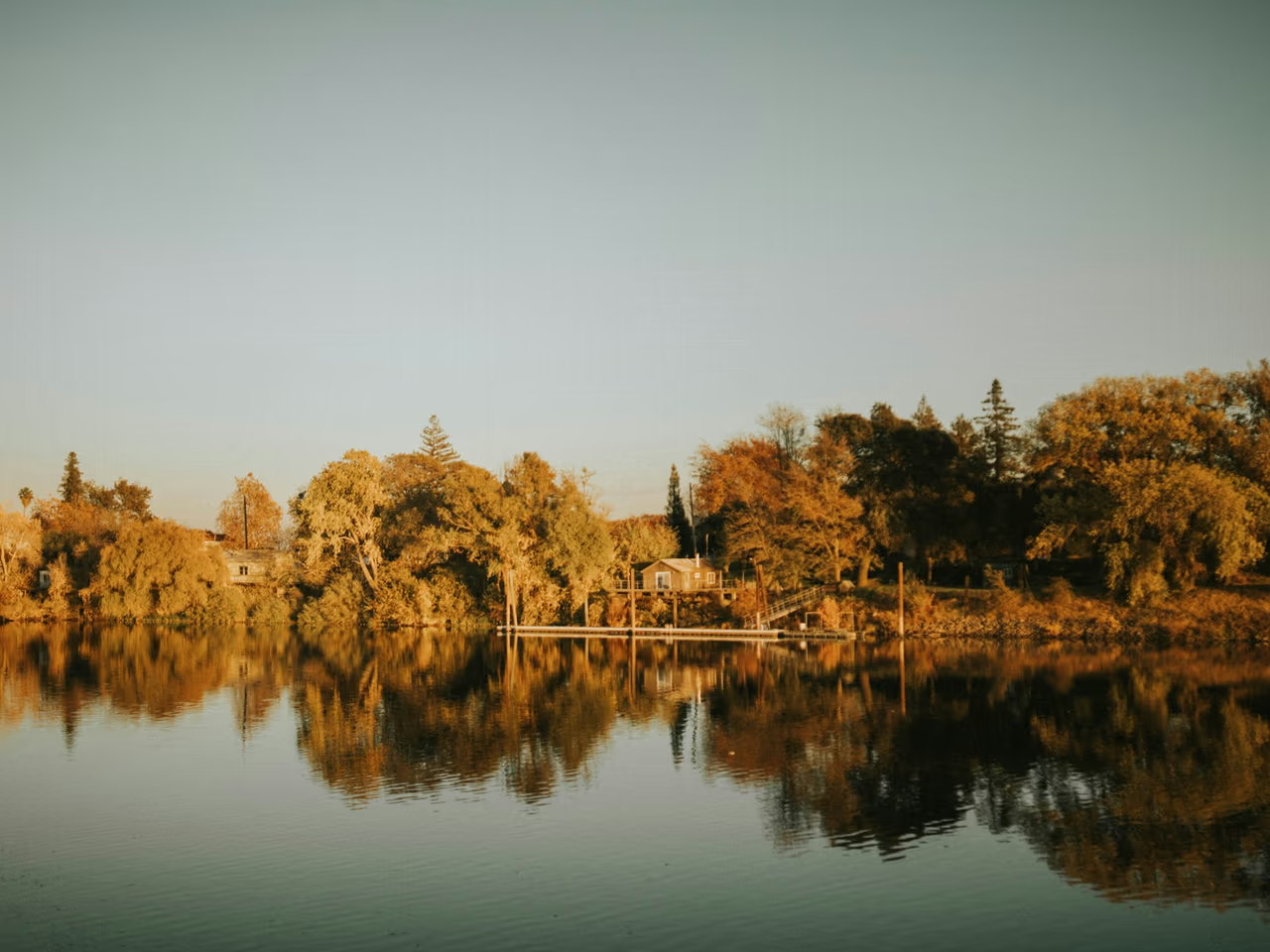
Do this while you are still standing there
Take a photo from where you were, with something fixed in the frame, such as a tree, a picnic table or the line of the levee. Drop a pin on your phone. If it went into the river, note where you stood and how deep the water was, and stay out of the current.
Then message us on WhatsApp with where and when. Say whether it landed on dry sand, gravel, grass or in the water, and whether the beach has been under since. On a lawn, keep the mower off that patch.
Places we cover in Sacramento, American River and Folsom
- Sacramento
- Carmichael
- Fair Oaks
- Rancho Cordova
- Folsom
- Granite Bay
- Paradise Beach and Glenn Hall Park
- Tiscornia Beach and Discovery Park
- Howe Avenue and Watt Avenue river access
- Ancil Hoffman Park and William B. Pond, Carmichael
- Sailor Bar, Sacramento Bar and Upper Sunrise, Fair Oaks
- Rossmoor Bar, El Manto and Lower Sunrise, Rancho Cordova
- Lake Natoma, Nimbus Flat and Negro Bar
- Folsom Lake, Beals Point and Granite Bay
- McKinley Park and William Land Park
- Back gardens and lawns across the area
Where things go missing along the American River
From the confluence up to Folsom Lake, every stretch is its own problem.
Paradise Beach, Sacramento
A sandy cove on an oxbow bend of the American River near Sacramento State, reached on foot over the levee from Glenn Hall Park via Carlson Drive. On dry sand a ring or a set of keys stays shallow and the search is a clean one. The sandy edge can be worked in summer low flow.
Tiscornia Beach and Discovery Park
Tiscornia Beach on Jibboom Street is a large sandy beach at the confluence, joined to Discovery Park by a bridge. There is no lifeguard, and loaner life jackets are kept here. Discovery Park is designed to flood in winter high water, so something lost in autumn can be under moving water and silt by January.
Ancil Hoffman Park, Carmichael
Ancil Hoffman Park is bordered on two sides by the American River, dotted with old oaks and home to the Effie Yeaw Nature Center. A ring or a phone that comes off on picnic grass is caught in the thatch or the top few centimetres, close enough to the surface for a quick sweep once the patch is small.
Sailor Bar and the Sunrise areas, Fair Oaks and Rancho Cordova
Sailor Bar in Fair Oaks has a gravel road down to the river and is a popular launch for rafts and small craft. Sacramento Bar and Upper Sunrise are also in Fair Oaks, and Rossmoor Bar and Lower Sunrise are in Rancho Cordova. Rings, Oura rings and sunglasses go when people climb out of rafts or wade over gravel bars. Metal frames give a signal, plastic ones only turn up by eye.
Lake Natoma, Folsom and Rancho Cordova
Lake Natoma lies downstream of Folsom Lake. Black Miners Bar in Folsom and Nimbus Flat on the Rancho Cordova side both have swim beaches, and people mix the two up when they describe where they were. On 1 July 2026 a health alert went out for elevated E. coli at Nimbus Flat, Black Miners Bar and Willow Creek, from samples taken in late June.
Folsom Lake, Beals Point and Granite Bay
Folsom Lake covers about 19,500 acres across Sacramento, Placer and El Dorado counties, with about 75 miles of shoreline. Granite Bay has a sandy beach and a buoyed swim area with summer lifeguards, and Beals Point a campground and access to a 32 mile bike trail. On a shoreline that long, the beach name is only the start of the address.
How a search on this river is handled
One person on WhatsApp
You message one person and that person handles it from start to finish.
A proper briefing for the detectorist
The detectorist gets your marked map, photos and water notes before leaving the house.
Plain words when the odds are poor
A ring lost swimming off the ledge at Tiscornia is one we will tell you not to pay for.
Sand, gravel and grass all behave differently
Loose sand gives a target up cleanly. Gravel slows everything down. Mown grass holds a ring an inch from the surface and hides it completely. The detectorist is told which of the three they are walking onto.
The cost comes before the decision, not after
Sort the cost out before anything else. It is given plainly, and a search is only arranged if you ask for one.
River, lake and ground around Sacramento
No tide here. Dam releases, lake level and the kind of ground matter instead.
River sand, gravel and no tide
The American River has no tide. Its level is set by releases from Folsom and Nimbus dams, so a beach that was wide in August can be narrow or under water after a wet week. A ring dropped on dry sand usually sits in the top 10 to 15 cm (4 to 6 inches). On the wet edge it settles quicker and can shift with the flow.
Cold, fast water even in a heatwave
The river is fed by Sierra snowmelt. Rescue crews reported it in the upper 40s and low 50s Fahrenheit (roughly 8 to 12 Celsius) in May 2026, and a snowmelt river can run as cold as 40 F (4 C), cold enough to cause cold shock the moment you go in. Only the shallow sandy edge in summer is realistic ground for a search.
Folsom Lake level
Folsom Lake is a reservoir, so its shoreline moves with snowmelt and dry years. The best level for recreation is about 435 to 455 feet, and boat ramps go out of service at 426 feet. Something lost at the water line in July can be sitting well up a dry bank by the autumn.
Gravel bars are slower than sand
Loose sand at Paradise Beach or Tiscornia gives a target up cleanly. The gravel at Sailor Bar, Sacramento Bar and Rossmoor Bar is slower going, because stones scatter the signal and the ground has to be covered twice. Naming the exact bar is what makes that practical.
Want a first idea of your chances? Try the lost ring recovery calculator.
If it happened on sand, on gravel or on a lawn
I dropped my keys in the sand at Paradise Beach. Can they be found?
Usually this is one of the better cases here. Keys are big and loud to a detector, and Paradise Beach is a sandy cove on an oxbow bend of the American River, reached over the levee from Glenn Hall Park via Carlson Drive. Anything dropped on dry sand sits in the top 10 to 15 cm (4 to 6 inches) unless the river has risen over it since. Send a photo from where you sat and a pin on the map.
What about a phone dropped at Ancil Hoffman Park in Carmichael?
Tell us where you were sitting. Ancil Hoffman Park is bordered on two sides by the American River, dotted with old oaks and home to the Effie Yeaw Nature Center, so picnic grass and river edge are two different searches. A phone that goes down on grass is caught in the thatch or the top few centimetres. Leave the patch unmown until somebody has been over it.
My earring went in on the swim beach at Nimbus Flat. What now?
Say which end of the beach you were on. Lake Natoma lies downstream of Folsom Lake, and Black Miners Bar in Folsom and Nimbus Flat on the Rancho Cordova side both have swim beaches, so the two get mixed up constantly. A small earring in loose sand at the water line is a fair search. One that went out into moving water is a long shot, and you would hear that from us first.
The ring came off in the water at Tiscornia Beach. Is it gone?
Not always. At Tiscornia Beach, where the American River meets the Sacramento River, the bed drops away at an underwater ledge about 30 feet (9 metres) out from shore, and the two currents meet there. If the lost ring slipped off while you stood ankle to knee deep on the sandy edge, a detectorist can work that strip in summer low flow. Beyond the ledge nobody can work safely, yourself included.
I lost an Oura ring getting out of a raft at Sailor Bar. Worth a search?
It can be. Sailor Bar in Fair Oaks has a gravel road down to the river and is a popular launch for rafts and small craft, so the climbing-out moment is a common one. An Oura ring is titanium and gives a weaker signal than a gold band, but a detectorist can still pick it up on a gravel bar or at the shallow edge if you say where you got out.
A wedding band went missing at Beals Point or Granite Bay. What should I do?
Start with the water line, because on Folsom Lake it moves. Granite Bay has a sandy beach and a buoyed swim area with summer lifeguards, and Beals Point has a campground and the access to a 32 mile bike trail. Tell the lifeguards or staff on the day, and tell us how far along the beach you were and how deep you waded.
What if it cannot be found?
Rivers move things, and sometimes the spot in memory is not the spot it happened, so some searches come back empty. When a case looks like that you hear it before anyone drives anywhere, and you know the cost before deciding anything.
Sacramento, American River and Folsom
Which beach, which bar, and how deep you stood
One pin, one photo from the spot, and the hour it happened.
The river changes what it covers from week to week, so the marks you take today are worth more than the ones you take next month. Send them on WhatsApp and you will hear how the case looks before anything is arranged.