
Nantucket
Lost a ring or watch on Nantucket?
Calm harbour sand at Jetties, heavy surf on the south shore, and moving water at Brant Point
A watch has plenty of metal in it, so it reads clearly the moment a detector passes over it. What decides a case at Brant Point is the water it fell into. Boats and ferries pass in and out of Nantucket Harbor at the end of Easton Street, local guides describe a strong current and heavy boat traffic, and there is no lifeguard, so a watch off those rocks is work for someone in the water. Round on the north shore at Jetties the water is shallow and slow, and that changes the whole answer.
Ring Seekers is a lost ring and jewelry recovery service that works with experienced local metal detectorists to search for a ring, wedding band, watch or phone lost on Nantucket, out in the Atlantic off the Massachusetts mainland.
The search is done by a detectorist who knows these beaches. We choose an experienced detectorist who knows the island, brief them with your map and photos, and tell you honestly if the odds are poor.
Two photos, a pin, and the hour it happened
In the first hour, stand where you think it came off and take two photos, one towards the water and one back towards the path, the stairway or the lifeguard stand. Note the time and please do not sweep the sand with your hands, because that only spreads the area out.
Then message us on WhatsApp with the beach, the time, a dropped pin and a picture of what went missing. Say whether it went down on dry sand, in the wet sand at low water, in the harbour or off the rocks, because only one of those four needs a diver.
Places we cover on Nantucket
- Nantucket town
- Children's Beach, Nantucket Harbor
- Brant Point
- Jetties Beach
- Steps Beach, Lincoln Circle
- Dionis Beach
- Eel Point
- Madaket Beach and Smith's Point
- Cisco Beach
- Surfside Beach
- Nobadeer Beach
- Siasconset ('Sconset) and 'Sconset Beach
- Great Point and the Coskata-Coatue Wildlife Refuge
- Wauwinet
- Steamship Authority ferry and fast ferry from Hyannis
- Hy-Line fast ferry from Hyannis
Island beaches, from the harbour to Great Point
Children's Beach and Brant Point
Children's Beach, at 15 Harbor Way in town, has calm harbour water, a playground close by and a lifeguard on the town's list. At the end of Easton Street, Brant Point is where boats and ferries pass in and out of the harbour. A ring or phone dropped from its rocks lands in moving water.
Jetties Beach
Jetties Beach, at 4 Bathing Beach Road just outside town on the north shore, is named after the rock jetties that have guided ships into Nantucket Harbor since 1911. The town describes shallow water, little to no current and expansive sand bars at low tide, with lifeguards in summer.
Steps Beach and Dionis Beach
Steps Beach starts at the far end of Lincoln Circle, where a path leads to a stairway down to Nantucket Sound, and that stairway is the marker to photograph. Further west, off Madaket Road and Eel Point Road, Dionis has calm, clear water, soft white sand and tall rolling dunes, with lifeguards in summer.
Madaket Beach
Madaket is at the west end of the island and is known for its sunsets. The west end has significant rip currents and heavy surf, which moves sand and buries things deeper, and Madaket has a lifeguard in season. Smith's Point beyond it is reached along the sand by four-wheel drive.
Cisco, Surfside and Nobadeer
These south shore beaches all have lifeguards in season. Cisco, several miles out of town, has rolling surf and a shallow sandbar at low tide that draws surfers. Surfside is about 2.3 miles (3.7 km) from town by Surfside Road, and Nobadeer, which local guides place near the airport, is the next one along.
'Sconset Beach and Great Point
'Sconset Beach lies on the east end by the village of Siasconset, with a lifeguard in season and an eroding bluff behind it. North of Wauwinet, Great Point runs about 7 miles (11 km) to its lighthouse, reached on foot or by four-wheel drive along the sand, so a mark to work from matters more out there than anywhere.
How an island case gets worked out
One person on WhatsApp from start to finish
You explain once, and the same person keeps you updated.
Your map and photos go to the detectorist
We brief the detectorist who can reach Nantucket with your dropped pin, photos and timings.
Poor odds are said out loud
Deep water off Brant Point, or over the side of a ferry, is a long shot, and you would hear that from us first.
North shore and south shore are different searches
Jetties and Dionis are calm, flat water. Madaket, Cisco, Surfside and Nobadeer have surf that moves sand, and we plan the two around different hours.
The number arrives before anything else does
What a search would come to is put to you while nothing is in motion, and you can sit with it as long as you need.
Sand, tides and cold water on Nantucket
Sand and surf
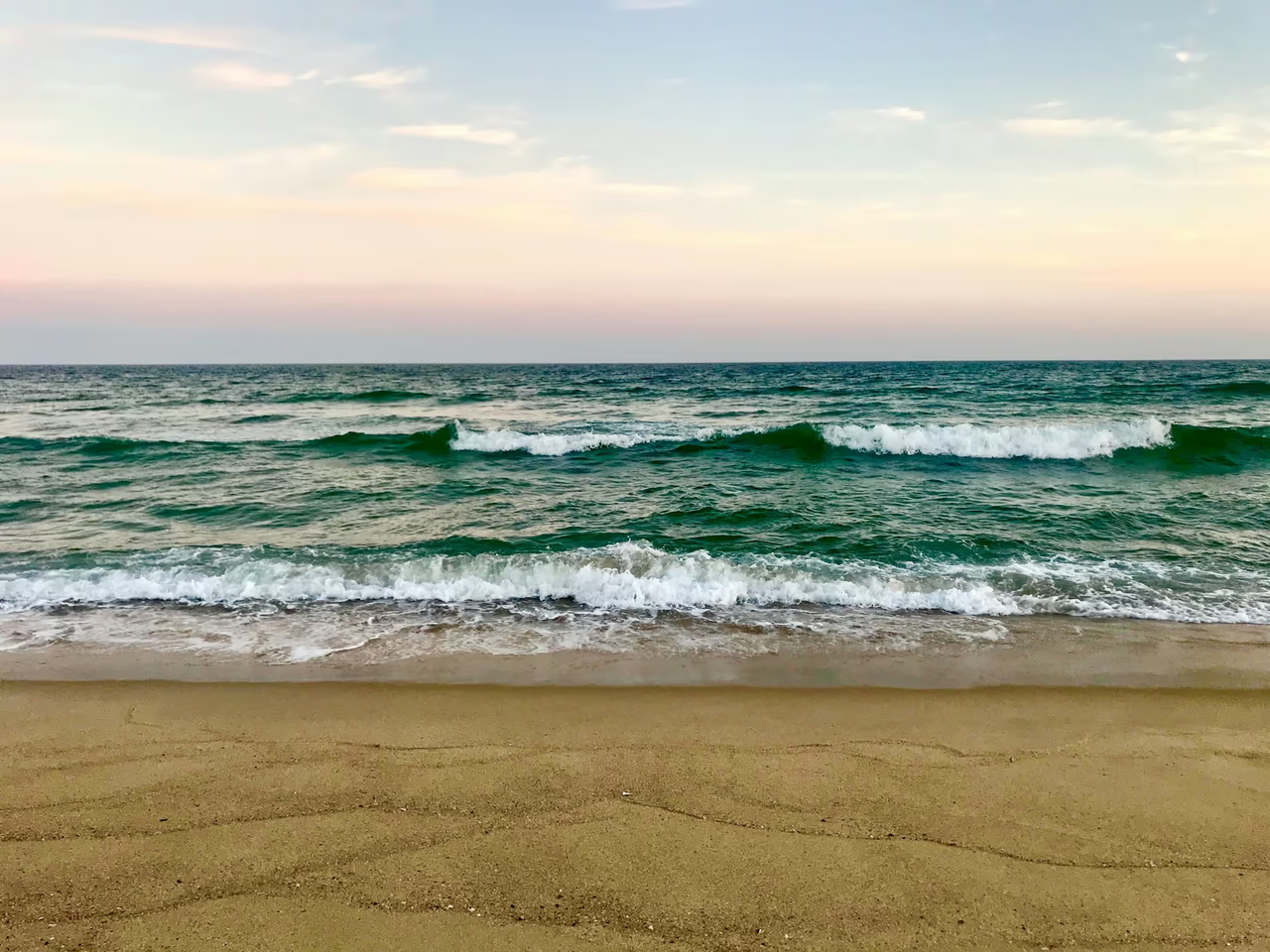
The north shore beaches on Nantucket Sound, such as Jetties and Dionis, have calm water. The west end and the south and southeast facing beaches, which covers Madaket, Cisco, Surfside and Nobadeer, have significant rip currents and heavy surf. Waves there move sand and can bury a ring deeper.
Tides from NOAA
NOAA gives its Nantucket Island station a mean tide range of 3.03 feet (about 92 cm) and a great diurnal range of 3.57 feet (about 1.09 metres). The wet sand is best searched in the hour either side of low water.
Water temperature
NOAA's Nantucket gauge averaged about 76F (24C) in August 2026 and about 34F (1C) in January 2026. Cold water shrinks fingers, and rings slip off.
Harbour water and the wharves
The harbour is a different search again. Anything that goes over the side at Steamboat Wharf or Straight Wharf is in harbour water, out of reach of a detector worked from the sand, and Brant Point at the end of Easton Street has a strong current and heavy boat traffic running past it. Children's Beach, at 15 Harbor Way in town, is the calm end of that same water, with a playground close by and a lifeguard on the town's list.
Want a first idea of your chances? Try the lost ring recovery calculator.
Questions about Nantucket
My watch went into the water off the rocks at Brant Point. What now?
Do not go in after it, and tell us exactly which rocks. Brant Point, at the end of Easton Street, is where boats and ferries pass in and out of Nantucket Harbor, and local guides describe a strong current and heavy boat traffic there, with no lifeguard. A watch has plenty of metal in it, so it reads clearly once a detector is over it, but anything that fell into deeper water off the rocks needs someone in the water with an underwater detector. Send a photo of the exact spot you were standing on and the hour it happened.
I lost an earring or my phone on the ferry from Hyannis. Who do I call?
On a Steamship Authority boat, call its lost and found on (508) 548-5011 extension 404. On a Hy-Line fast ferry, stop at any Hy-Line ticket office or call (800) 492-8082. If it went over the side at Steamboat Wharf or Straight Wharf, it is in harbour water, where a detector on the sand cannot reach. Tell us exactly where it fell and we will say honestly whether a diver makes sense.
My wedding band came off in the surf at Surfside. Is there any chance?
Sometimes. Surfside has rolling surf over sandbars and a shallow sandbar at low tide, which is when the water's edge is easiest to work. Surfside is about 2.3 miles (3.7 km) from town by Surfside Road and has a lifeguard in season, so tell us which stand you were nearest and how far out you had waded. The sooner it is looked at the better, because waves on that shore move sand and bury things deeper.
I lost my Oura ring at Jetties Beach. Will a detector find it?
Yes, an Oura ring is metal. The town describes Jetties as having gentle or no waves, little to no current and expansive sand bars at low tide. If the app shows a last location, send us a screenshot.
Can a search be done out at Great Point?
It can, and everything turns on how tightly you can place the spot. Great Point runs about 7 miles (11 km) north of Wauwinet to its lighthouse, reached on foot or by four-wheel drive along the sand, which is a very long stretch for anyone to cover without a mark to work from. Tell us how far up from Wauwinet you had gone, what you were level with when you last had it, and drop a pin if your phone caught one.
A bracelet came off in the surf at Madaket. Is there any chance?
There is, and it is a harder shore than the north side. Madaket is at the west end of the island, known for its sunsets and for significant rip currents and heavy surf, and waves there move sand and bury things deeper, so time counts for more here than anywhere else on the island. Madaket has a lifeguard in season, so tell us which stand you were near, how far out you were and what the time was.
We lost an earring at Children's Beach in town. Where does a search start?
At whichever you can place more tightly, the playground side or the water's edge. Children's Beach, at 15 Harbor Way in town, has calm harbour water and a playground close by, with a lifeguard on the town's list, so it is flat, busy ground that a detector works easily once the area is small. A small stud gives a weak signal, so a narrow spot matters more here than the photographs do.
What about a ring lost at 'Sconset Beach?
Tell us which way down to the sand you used. 'Sconset Beach is on the east end by the village of Siasconset, with a lifeguard in season, and the currents around the island change with the wind and the weather. The Sconset Bluff behind the beach is eroding, so the sand at the foot of it shifts, which makes the hour you lost it worth knowing as well as the place.
Nantucket
Name the beach, then the nearest thing that will not move
Nantucket is not one search but several, and the beach name decides which of them you have. Send it with the hour, a dropped pin and a couple of photos on WhatsApp, and we will tell you plainly what can be done from there.