
Destin, Fort Walton Beach and 30A
Lost a ring in Destin or on 30A?
Dry sand, the surf line and the harbour boards, from Okaloosa Island down to Rosemary Beach
Sand treats a ring better than almost anything else. It drops straight in, sits close to where your hand was and does not roll away as it would on a road, so a lost ring or an earring in the sand at Destin, Fort Walton Beach or along 30A is usually still near that spot. What changes the odds is how well you can place it, how long it has been and whether it went into the water.
Ring Seekers is a lost ring and jewelry recovery service that works with experienced local metal detectorists to search for a ring, wedding band, watch or phone lost in Destin, Fort Walton Beach or on 30A, in the Florida Panhandle. The search is done by an experienced local detectorist. Tell us what happened and where. We choose an experienced detectorist who knows the beach, brief them with your map and photos, and tell you honestly if the odds are poor.
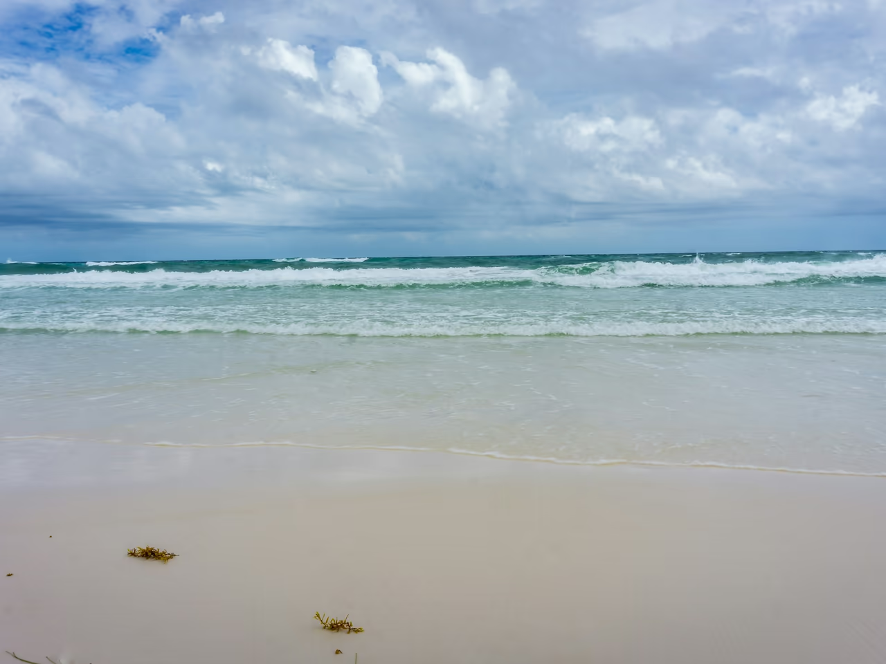
The first hour on the Emerald Coast sand
Put something heavy on the spot first, a cooler, a bag, a shoe, so the place cannot get lost while you look. Then take two pictures, one along the beach and one up at the dunes, with whatever will still be standing tomorrow in the frame. Drop a pin, note the time, and keep everyone off that square of sand.
Send both to us on WhatsApp with a photo of the ring, watch or earring. The close detail decides the search: whether you were above the wet line or in it, what you were doing when it came off, and whether the sand has been dug over since. Working out who does metal detecting Florida beaches near your stretch of coast is our side of it.
Places we cover in Destin, Fort Walton Beach and 30A
- Destin
- Henderson Beach State Park, Destin
- Destin Harbor Boardwalk and HarborWalk Village
- James Lee Park, Destin
- Destin beach trails (Crystal Beach, Pompano, Tarpon and others)
- Fort Walton Beach
- Okaloosa Island
- Okaloosa Island Pier
- Crab Island, by the Marler Bridge
- Okaloosa Day Use Area on Choctawhatchee Bay
- 30A (Scenic Highway 30A)
- Santa Rosa Beach
- Grayton Beach and Grayton Beach State Park
- Seaside
- Rosemary Beach
- Miramar Beach and the South Walton regional beach accesses
- Beachfront rentals and resorts
Beaches, trails and piers from Fort Walton Beach to 30A
Barrier island sand, a busy harbour, two state parks and a string of beach towns.
Henderson Beach State Park, Destin
More than 6,000 feet (about 1.8 km) of natural shoreline on Emerald Coast Parkway, reached by boardwalks over the dunes. The walkovers make a long beach workable: one of them is where you came in, and a search starts there and spreads out.
Destin Harbor Boardwalk and HarborWalk Village
The Destin Harbor Boardwalk runs for nearly a quarter of a mile along the harbour past restaurants and charter fishing boats, where phones and sunglasses slip into the water while people board. The slip or the doorway you were outside is what places it.
James Lee Park and the Destin beach trails
James Lee Park is the only Okaloosa County park in Destin, with pavilions and several beach access points near the county line. Along the rest of the city the beach trails, among them Crystal Beach, Pompano and Tarpon, put people onto the sand at many separate points, so the trail you used names your patch better than a street does.
Crab Island and the Okaloosa Day Use Area
Crab Island is a large submerged sandbar by the William T. Marler Bridge, where hundreds of boats anchor through the summer and people climb down into the shallows around them. A ring, a phone or sunglasses lost there went into sand among the boats, so note where yours was anchored against the bridge. Between Fort Walton Beach and Destin, the Okaloosa Day Use Area is a quieter bay beach on Choctawhatchee Bay, with a small boat launch.
Okaloosa Island and the Okaloosa Island Pier
Okaloosa Island is the Gulf beach between Fort Walton Beach and Destin. The Okaloosa Island Pier runs 1,270 feet (about 387 metres) into the Gulf from 300 Pier Road, and a lifeguard command tower stands on it. Watches and Oura rings come off in the surf here, and the pier gives a searcher something to measure the distance against.
Grayton Beach State Park, Santa Rosa Beach
Close to Seaside on 30A, the park covers almost 2,000 acres with about a mile of white sand beach and Western Lake, one of its coastal dune lakes. There are no lifeguards, so the dune walkover and the mouth of the lake are the markers people use.
Miramar Beach and the South Walton accesses
South Walton has 11 regional beach accesses between Miramar Beach and Inlet Beach, with lifeguards from March to October, along 26 miles of coast that also takes in Santa Rosa Beach, Seaside and Rosemary Beach. The access you parked at turns those 26 miles into a few hundred yards.
How Ring Seekers helps along the Emerald Coast
One person on WhatsApp
You explain the loss once. One person takes the details, chooses an experienced detectorist who knows the beach, and stays your contact.
Your map and photos go to the detectorist
The detectorist starts from your pin and photos.
Plain about poor odds
A band in dry sand on a patch you can mark is a good case. Something that went off the end of a pier into open Gulf water is not, and you hear that before anything is arranged.
Dry sand and the surf line are different jobs
Above the wet line a detectorist works slowly over a small square. In the water it is a different machine, planned around the low tide. We match the searcher to the ground you describe.
Costs before a detectorist drives out
The cost of a search is settled with you first. If that is where it ends, that is fine, and nothing has been set in motion.
Sand, tide and water between Destin and 30A
A very small tide, warm summer water and white sand that buries things quickly.
A small tide on the Gulf
NOAA puts the mean tide range at Okaloosa Island at 1.24 feet (about 38 cm). Inside East Pass at Destin the mean range is only 0.59 feet (about 18 cm). With so little movement, low water uncovers only a narrow extra strip, so the size of the patch matters more than the hour.
White sand that swallows things
The sand here is fine and soft, so a ring sinks rather than skitters, which is why it usually stays near where it fell.
Lifeguards and the season
Okaloosa County lifeguards work from the second Saturday in March to October 31, and South Walton Fire District lifeguards cover the regional beach accesses from March 1 to October 31. A staffed tower is an easy fixed point to place yourself against, and out of season a walkover or an access does the same job.
Water temperature
NOAA water temperature averages along this coast run from about 57 to 60°F (14 to 15°C) in January to about 86°F (30°C) in August, and cold winter water makes fingers shrink.
Want a first idea of your chances? Try the lost ring recovery calculator.
Questions about Destin, Fort Walton Beach and 30A
My ring came off in the dry sand at Destin. Where do we even start?
With the two nearest things that are still there today. Destin puts people onto the sand at many beach trails, among them Crystal Beach, Pompano and Tarpon, so the trail you walked down, plus a pavilion or a tower, boxes in a patch a searcher can cover. Dry sand is the best ground we get: a ring drops in and stays within a foot of where your hand was.
My phone went into the water off the Destin Harbor Boardwalk. Is that it?
It depends where along it you were. The boardwalk runs nearly a quarter of a mile past restaurants and charter boats, and most things go in while people step on or off a boat, so the slip number or the business you were outside is the detail that matters. A phone and metal framed glasses both give a signal. Plastic sunglasses are found by eye or not at all.
My watch came off in the surf near the Okaloosa Island Pier. Can anyone help?
Often, if you can say how far from the pier you were and how deep you were standing. The pier runs 1,270 feet (about 387 metres) into the Gulf from 300 Pier Road and has a lifeguard command tower on it, so it is easy to measure yourself against. Anything dropped from the pier itself lands in open Gulf water, and that is a long shot, and you would hear that from us first.
I lost my wedding band on the beach at Henderson Beach State Park. What now?
Name the walkover. The park has more than 6,000 feet (about 1.8 km) of natural shoreline on Emerald Coast Parkway, reached by boardwalks over the dunes, so the one you came over splits a long beach into a manageable stretch. Then tell us how far down the sand you set up and whether you had been in the water, because dry sand and the surf line are two different jobs.
An engagement ring went missing at Grayton Beach. How do we describe where?
Use the dune line and the lake. Grayton Beach State Park covers almost 2,000 acres near Seaside with about a mile of white sand beach and Western Lake, one of the coastal dune lakes, at one end. There are no lifeguard towers to count from, so pace it out from the dune walkover or the point where the lake meets the sand and photograph the view both ways.
I lost an earring on the beach on 30A. Which access do you need to know?
Whichever one you parked at. South Walton has 11 regional beach accesses spread between Miramar Beach and Inlet Beach along 26 miles of coast, with lifeguards through the main season, so the access name places you within a few hundred yards. An earring is a fainter signal than a ring, so the smaller the square you mark, the better.
We flew home from Destin days ago. Is there any point now?
Sometimes there is. The tide here moves very little, so sand buries a ring rather than carrying it off, and the marks you took on the day hold their value after you have gone. Send the photos and a rough pin from wherever you are. Our read on the case and what a search would cost come back in one message, and the decision is yours.
Destin, Fort Walton Beach and 30A
Which trail, which walkover, which access
One name off the sand, the time of day, and a picture from where you sat.
Weigh the spot down, take the two photos, then write to us on WhatsApp. From the trail or access name we can usually tell you how big a search this would be.